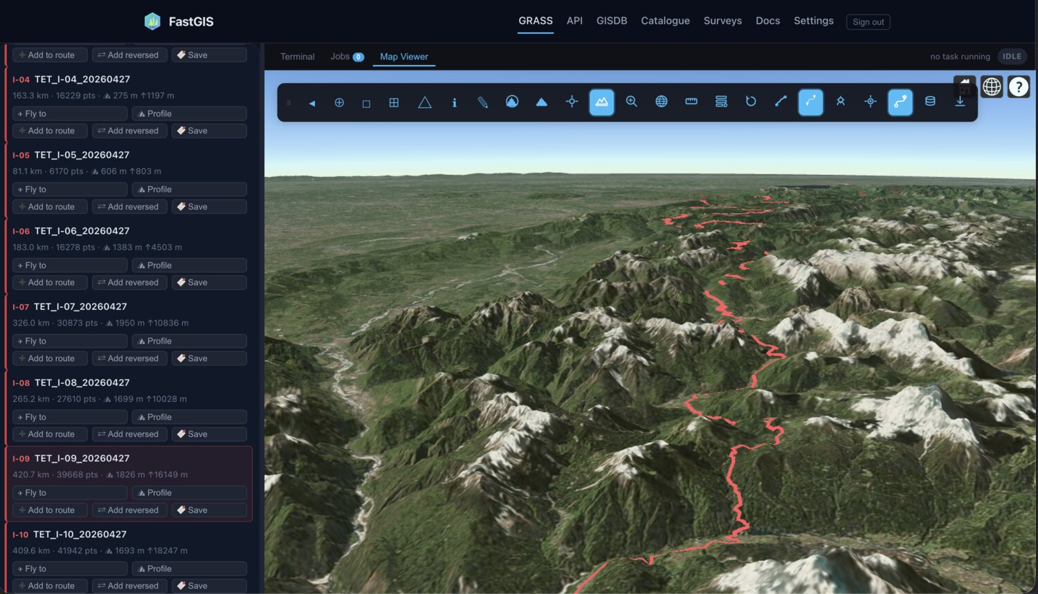
3D · TET
Trails in 3D
Browse & edit TET tracklines over self-hosted GLO-30 terrain.
A motorcycle-first navigator built on real maps, real terrain and a curvature engine that knows the good lines. From a Bergen fjord to an Alpine summit — your whole ride, in one app.
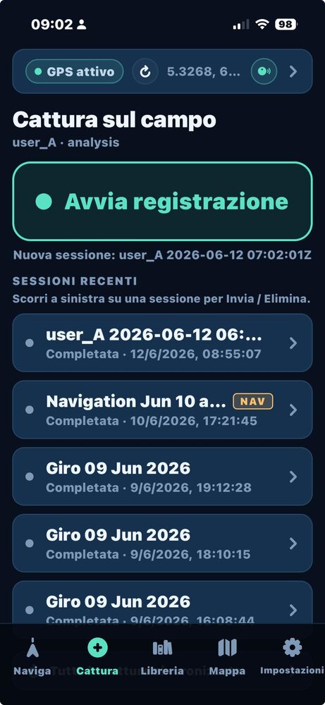
Open a field session right on the fjord and hit record. FastGIS logs your track as you ride and pins photos, voice notes and waypoints to the exact spot — on satellite imagery rendered in 3D from our own elevation service. Everything geotagged, everything yours.
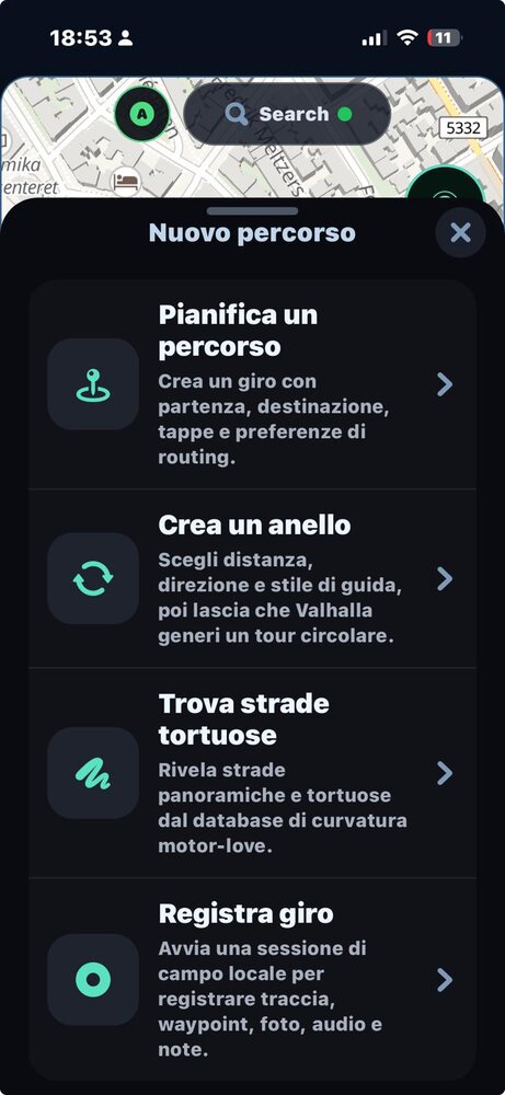
Plan a route with stops and routing preferences, generate a circular tour of any length, reveal the most twisty roads nearby, or just hit record. Routing is powered by our adventure-tuned Valhalla engine — paved, gravel or full enduro.
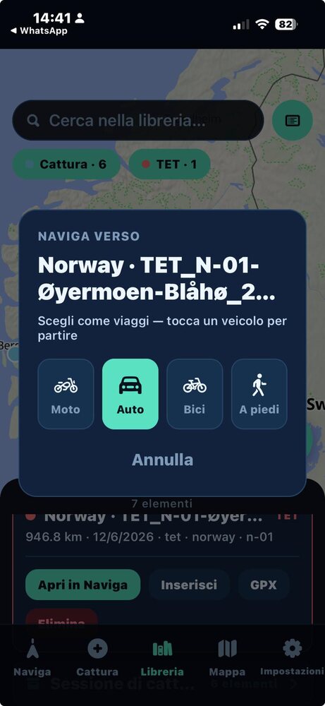
Browse the Trans Euro Trail across 28 countries, pick a sub-trail, and open it straight into turn-by-turn — on-device, even with no signal. Each track is augmented with elevation and a generated roadbook, so you always know what the next bend is hiding.
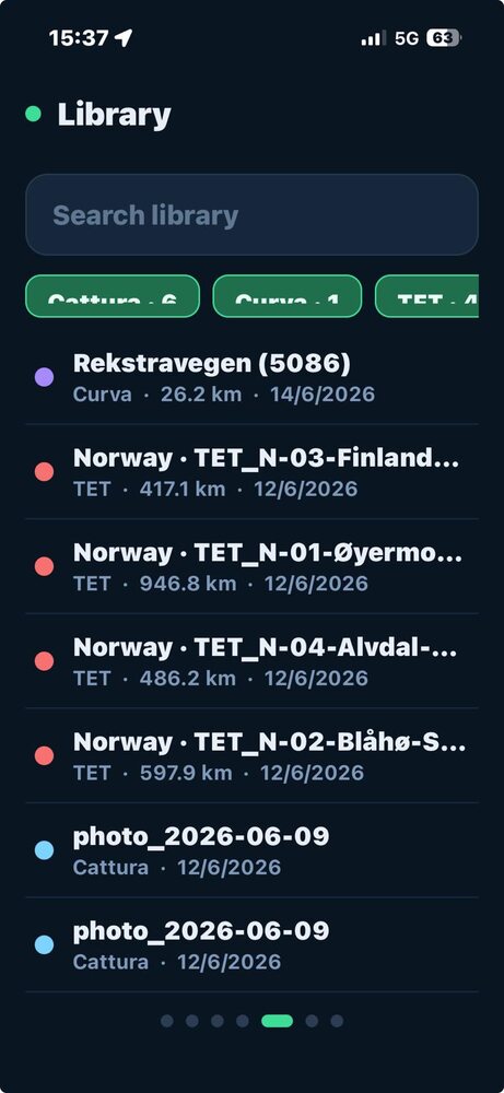
Days of riding roll into one searchable library — rides, tracks, captures and TET trails on a single map. Download the regions you need before you leave Wi-Fi; the maps, routing and curvature data all live on the phone. The map is your library.
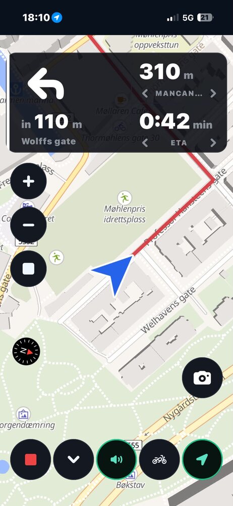
Forty-eight hairpins to the summit. FastGIS scores every road for sinuosity, gradient and scenery from its own curvature database, then stitches the twistiest legal route to the top — and speaks every bend as you climb. This is what the app was built for.
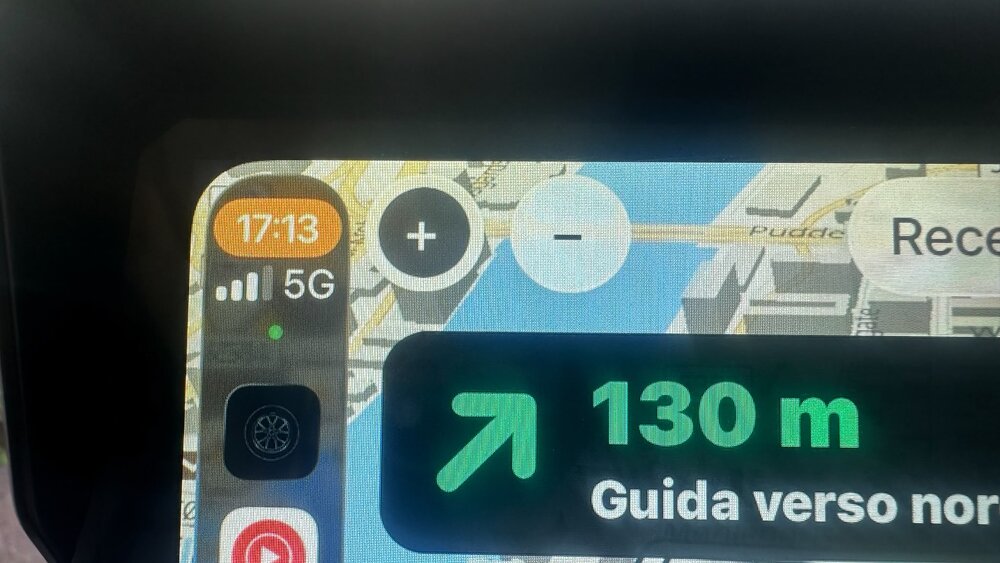
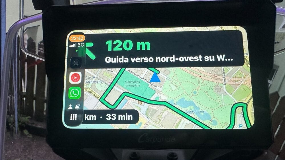
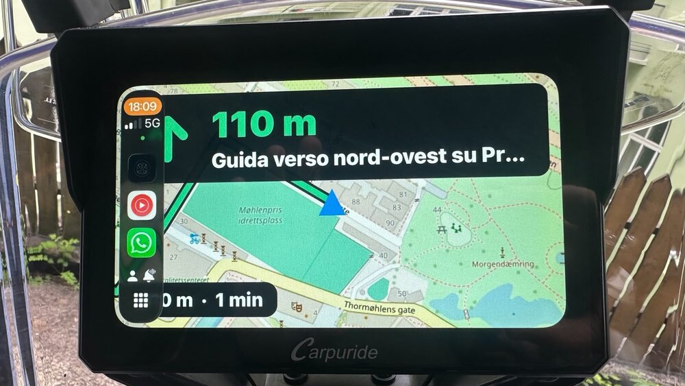
Full turn-by-turn on Apple CarPlay and Android Auto — mounted on the bike, eyes on the road, hands on the bars.
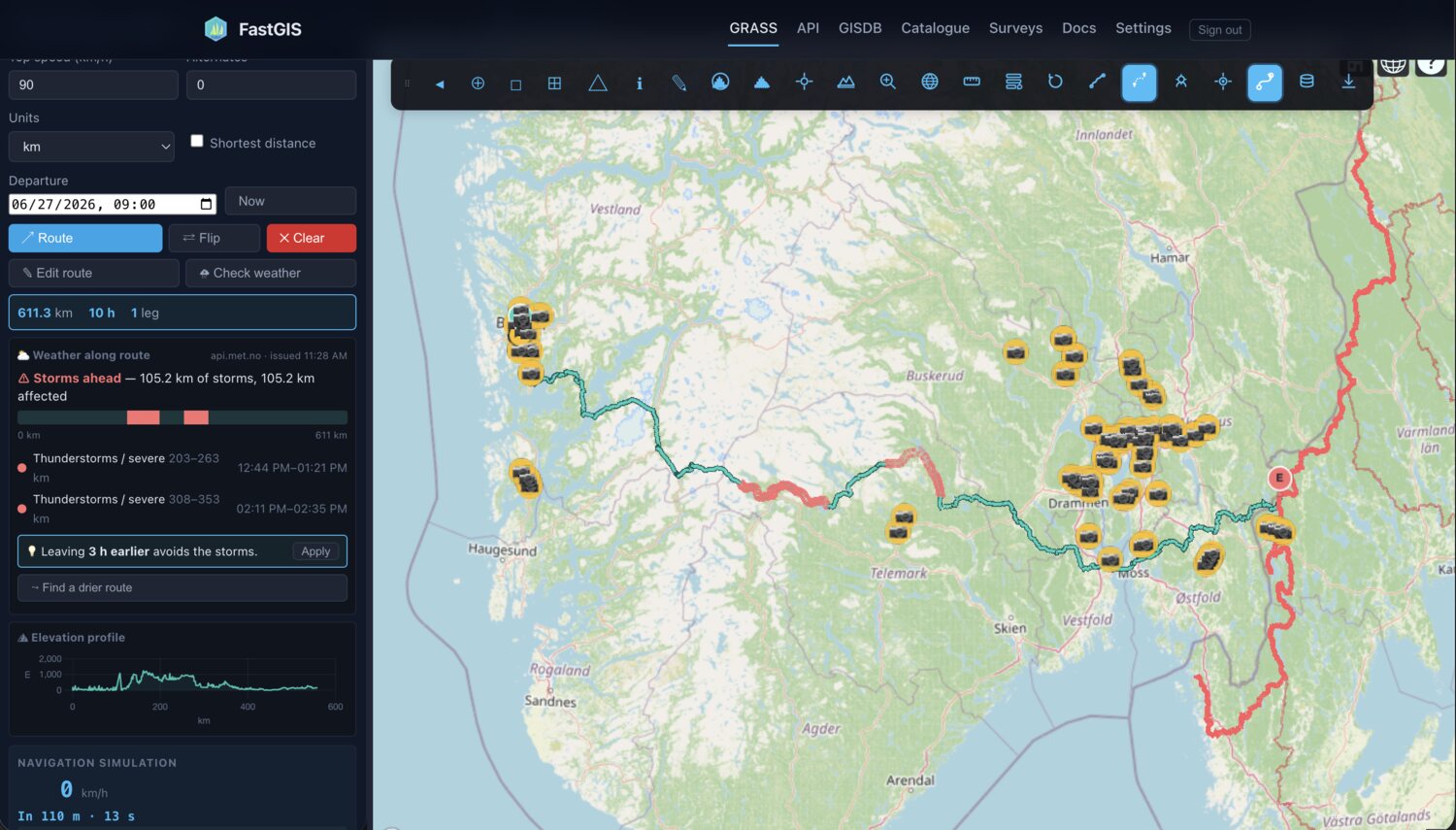
grass_runner is the FastGIS desktop client — a 3D Cesium GIS that speaks to the same API as the app. No install, no data lock-in. Here it has planned a 611 km run from Bergen to a Swedish TET track through our adventure-tuned Valhalla fork, then checked the forecast along it: api.met.no flags two severe-storm windows in red and suggests leaving 3 hours earlier to ride around them.
Browse & edit TET tracklines over self-hosted GLO-30 terrain.
Auto-generated tulip roadbooks with curvature rank — export PDF/KML.
Bake a ride into a multilingual Cesium story with AI narration.
Route, weather & 3D views are live grass_runner captures; roadbook and StoryMap panels shown as illustrations.
One app for the whole loop: find the road, ride it, record everything, relive it.
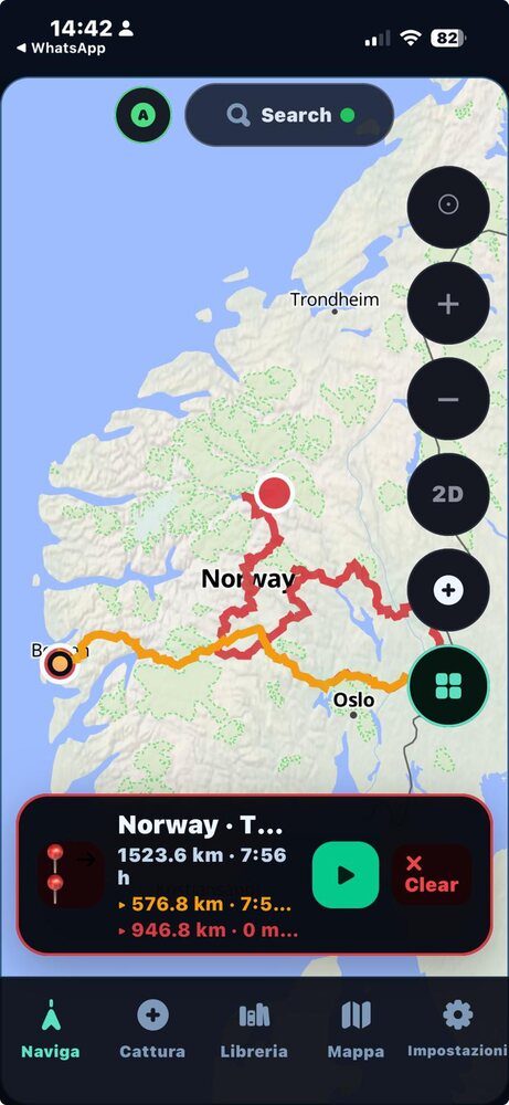
GPX in, navigate out — your routes and the TET drawn on 3D satellite maps.
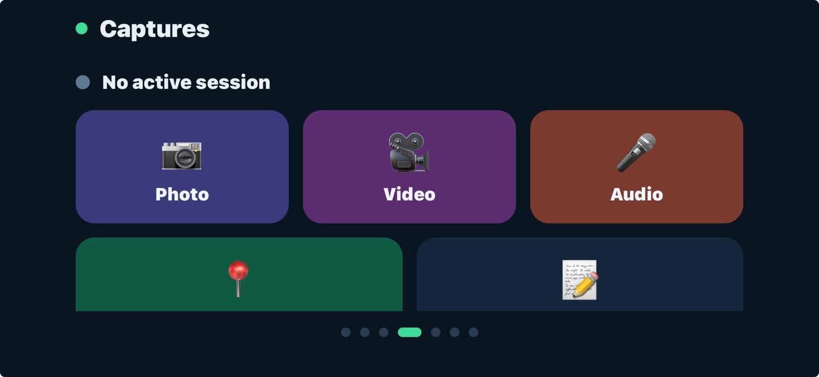
Photo, video, audio & notes — all geotagged to your track.
Off-route detection, smart reroute and speed-cam alerts.
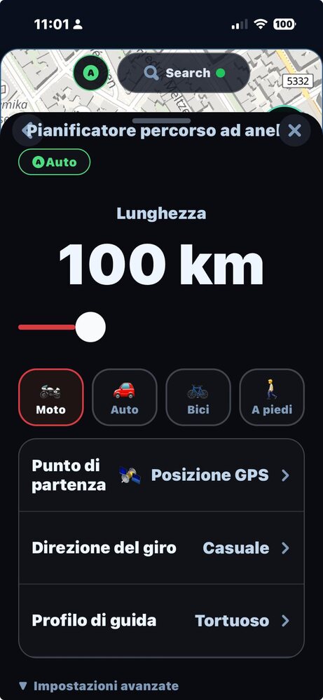
Pick a distance and a riding style — get a circular tour, instantly.
Plan, loop, hunt curves, or record — from a single sheet.
We're building FastGIS with riders, explorers and field crews. Take 30 seconds to shape what ships first — everything below is optional.
Thanks — your answers help us decide what ships first. We'll be in touch when FastGIS Mobile lands.